Below: This Google Earth image shows the Milk River Valley (floodplain) near Harlem and Ft. Belknap in north-central Montana. The green floodplain stands out because most of it is irrigated. This particular valley has an unusual history . . . It was actually formed by the ancient Missouri River. During the last ice age the continental glacier forced the Missouri out of this valley into a path many miles to the south of here. After the ice age, the Milk River began to occupy this floodplain. To learn more about this CLICK HERE. 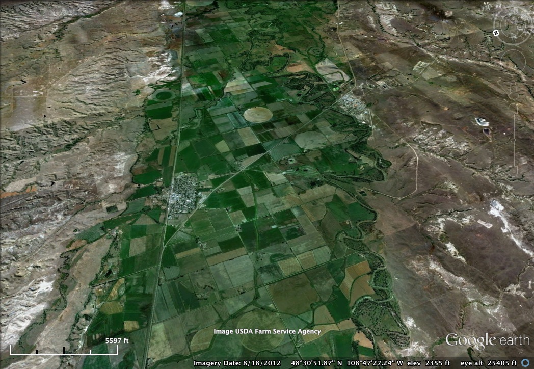
|

